Why eastern states are getting all of our Northwest weather right now

It's mid-November and we've got the cold, we've got the dark, but where is the rain?
National Weather Service forecaster Dustin Guy says this Saturday is supposed to be the wettest day of the year in the Seattle area, with rain 73% of the time.
"That's not going to be the case this year," Guy said. "We've had almost a week of dry weather, we've got at least six or seven days to go before we see any rain."
He says the current weather trend could be one of the longer dry stretches Washington has seen in a November. The region went 13 days with no rain back in 2000.
Guy says, however, that this dry spell is more of a "blip," and rain is going to return around Sunday or Monday.
Sponsored
"As we get into the week of Thanksgiving, things are going to look a lot more like normal around here," he says.
The cause of Washington's dry weather is a "persistent ridge along West Coast" that is sending all of Washington's usual weather off to the east.
"A lot of that weather is being deflected into the northern plains states," Guy said. "Basically, the eastern two-thirds of the country is getting the weather we are not ... It just doesn't really want to budge, but eventually it will."
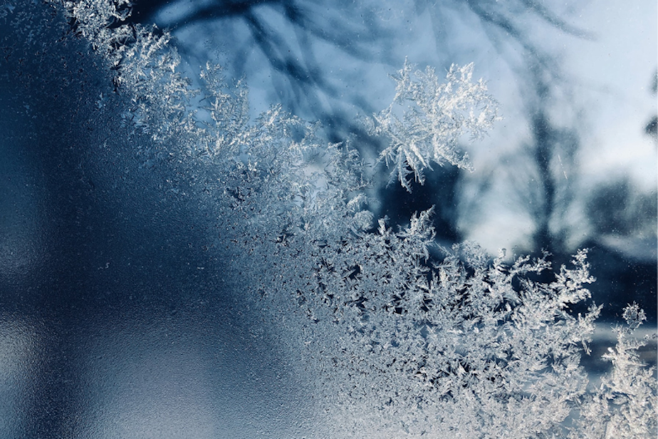
Guy adds that the lack of clouds isn't just robbing us of rain, it's sending overnight temperatures lower and lower. Cloud cover is like a blanket that helps keep heat, even winter temps, up. That's why there has been so much frost in the morning lately.
Statewide, there has been some progress when it comes to dry conditions. The US Drought Monitor says a small corner of Southeast Washington (Asotin, Garfield, and Columbia counties) along with parts of Whitman County are no longer dealing with any type of drought. But that's it.
Sponsored
The rest of the state is still either abnormally dry or in a moderate drought.


