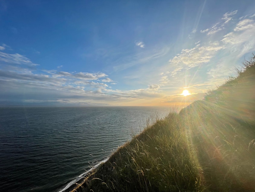
Summer has arrived in the Northwest. The weather ahead and what to expect for wildfire season

While spring in the Northwest has been cool and damp, the extended forecast shows the first few days of summer will be sunny and relatively warm. Things are expected to heat up, and dry out, as we head into the thick of wildfire season 2023.
The summer solstice arrived in the Northwest at 7:58 a.m. Wednesday, June 21. With more than half of the day getting light in the Seattle area, highs on this first summer day will reach the low 70s into the evening.
Looking ahead, Washington State Climatologist Nick Bond said the first half of July, in particular, is likely to be hot and dry, though not extreme. That's good news after an especially dry May left conditions across much of the state susceptible to fire.
Above normal temperatures are expected throughout the Northwest in July, as well as below normal precipitation. That forecast remains the same through about October, according to the National Weather Service's current assessment.
Sponsored
"It could be another one of those summers in which we have more fires than we used to have or, at least, larger fires," Bond told KUOW's Angela King. "So, folks should do as Smokey Bear says and be careful."
Nearly 12 million acres have already burned so far this year in neighboring Canada. That's a record for the most land burned so early in the season, according to The Washington Post.
Meanwhile, the National Interagency Fire Center says much of Washington state will have an "above normal" wildfire risk between July and September.
Sponsored
The NIFC's full report on wildfire risk this season is available here.
Looking even further ahead, Bond notes that El Niño has officially begun, according to the Climate Prediction Center. This could have certain implications for winter 2023.
"This event is looking like it's going to be, perhaps, on the strong side, that is contributing to the overall warmth of the globe," Bond said. "It tends to bring us warmer weather than usual in the winter months, and its most systematic impact is on our snowpack. Most of the time, our snowpack is less than normal at the end of El Niño winters. One quirk about the strongest El Niños, and we've only had a few of those, they tend to be warm, also a bit on the wet side. That could mean flooding problems in certain water sheds."


