It Will Take At Least 50 Years To Map The U.S. Arctic
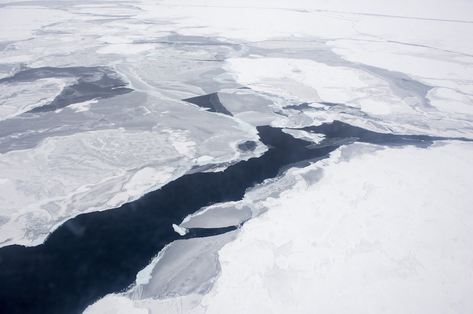
A Coast Guard C-130 flies over the Arctic Ocean during an Office of Naval Research-sponsored study of the changing sea ice, ocean and atmosphere.
Flickr Photo/Office of Naval Research (CC BY 2.0)/http://bit.ly/1L2lhwW
Jeannie Yandel talks to Rear Admiral Gerd Glang, head of NOAA's office of coast survey, about why only 1 percent of the U.S. Arctic Ocean has been mapped with modern tools.
-
Jeannie Yandel

Special Projects Editor
Jeannie Yandel is a special projects editor focusing on podcasts and broadcast shows. She created and co-hosted the KUOW podcast Battle Tactics For Your Sexist Workplace and ran and edited KUOW's podcast about local curiosity, SoundQs. She also co-created and co-hosted KUOW's YouTube interview series, Are We Going To Be OK?. Previously, she was senior producer for The Conversation and KUOW Presents, and was Executive Producer for The Record.
More stories from Jeannie Yandel »