'Fall arriving Friday.' Rain appears on the Northwest weather forecast
With rain and wind showing up on the Northwest weather forecast, the National Weather Service in Seattle is saying, "Fall arriving Friday."
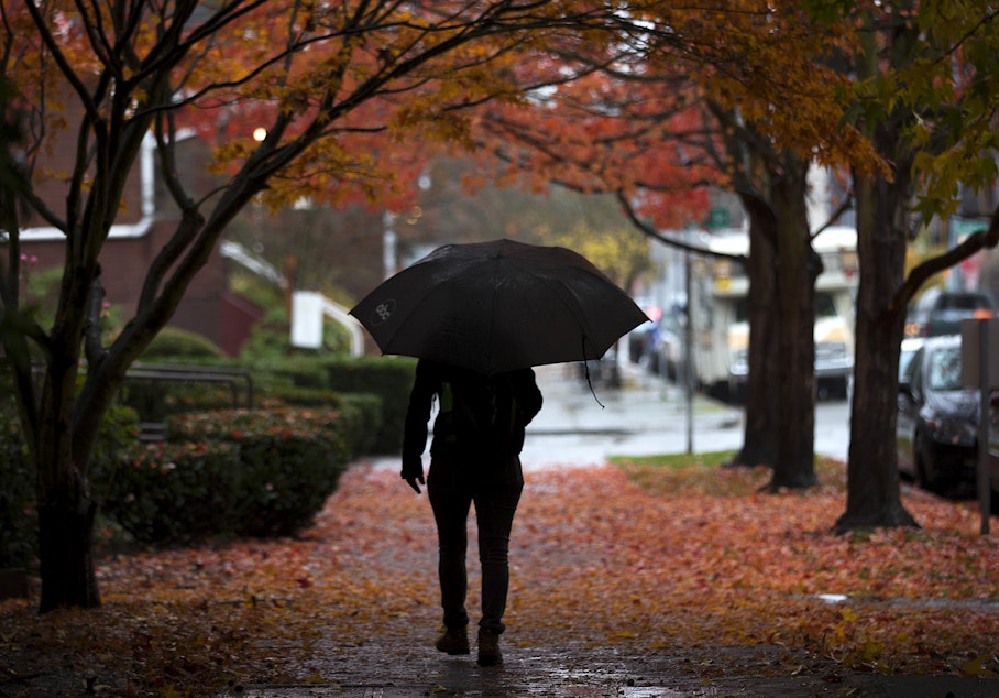
Not only rain, but more rain than has fallen on the region for more than three months.
The Weather Service had previously indicated that rain would arrive in its weather outlook for Oct. 19-25. It seems that prediction was correct.
The rain comes after the driest summer on record for the Seattle area. Just under half an inch of rain fell on Seattle between July and September. It also comes after a warm start to the fall season.
High temperatures have persisted into October. On Oct. 16, Seattle hit a high of 88 degrees, which is the second warmest day recorded for October in 130 years, the Weather Service notes. The warmest day recorded for the month was Oct. 1, 1987 when Seattle hit 89 degrees. The daily record for Seattle was broken by 16 degrees.
The rain is greatly needed. Wildfires have continued to burn into the fall season, sending smoke throughout Western Washington. Air quality has fluctuated from "moderate" to "unhealthy," according to the Puget Sound Clean Air Agency. A good dose of rain can help knock down lingering smoke and clean up the air.
Temperatures are expected to drop through the 60s over the week, and down into the 50s on Friday. As of this post's publishing, rain is expected Friday and for days following.
-
Dyer Oxley

Online Editor/Producer
Dyer Oxley joined KUOW as an Online Editor/Producer in 2020, handling day-to-day upkeep of the station’s website while providing editorial oversight. He also helms KUOW’s Today So Far newsletter, an insightful daily roundup of what KUOW is reporting ... so far.
More stories from Dyer Oxley »