Unlocking The Mystery Of The 1872 Earthquake
In 1872, a mass earthquake rocked the Northwest. It’s on record as one of the most widely felt temblors in the Pacific Northwest.
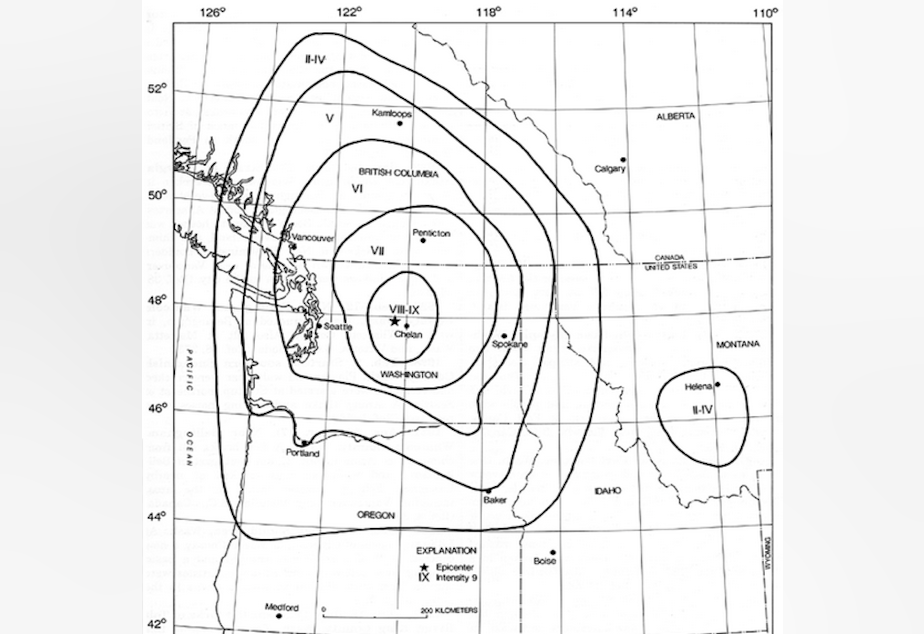
But the location of the fault line that caused the quake has been a mystery for more than a century. They didn’t even know which side of the Cascades the fault fell.
But now researchers with the U.S. Geological Survey think they’ve found the fault – a precarious spot near several dams on the Columbia River in Washington state.
Brian Sherrod, a paleo-seismologist for the USGS, said one new technology was particularly helpful to his team – Light and Distance Ranging or LIDAR.
“It’s an airborne mapping technique where you use a laser, mounted in an airplane, pointed at the ground,” he said. “You fly back and forth and you basically paint the ground with laser dots.”
Then the scientists strip off the vegetation from the map and generate what they call a “bald earth model.”
Then they look for where a fault has broken the ground surface in a vertical fashion.
They spotted a fault near Entiat, Washington, in Chelan County on the Columbia River. They also used old-fashioned techniques – shovels – to further expose the fault.
“You can actually put your finger on it,” Sherrod said.
If this is the fault for the 1872 earthquake, it will need to be accounted for in the hazards analysis for the dams, Sherrod said. But even if it’s not, he said, there’s a fault there that shouldn’t be ignored.
