Seattle weather is set to 'whipsaw' after an unusual start to fall
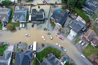
Just as Washington state land managers announced the fire season was ending, people around the Puget Sound region are choking on wildfire smoke.
Then, we experienced a 20-degree swing in temperatures between Monday and Sunday's record-breaking heat — the latest day in the calendar year on record where the region was 80 degrees or warmer.
But should this come as a surprise given how wacky our weather has been so far this year?
State climatologist Nick Bond spoke with KUOW's Angela King about the unusual weather patterns the region has been experiencing lately, what they mean and what to expect next.
This interview has been edited for clarity.
Angela King: Now, we know you're not a meteorologist. You're a climatologist. So, you're taking a look at the broader, more long-term picture when it comes to our weather and our climate. Let's talk about that. I know you've said we've had wonky years before with extreme conditions, but to have a wetter-than-usual spring, the driest summer on record in the Seattle area, all of the state now either abnormally dry or dealing with moderate drought conditions, and we've got a third La Niña winter on the way — how is this year stacking up to some of the more extreme ones we've seen in the past?
Nick Bond: Certainly, how dry it's been since, basically, the Fourth of July is what's most remarkable. We've had less than a half of an inch of rain in Seattle. And we haven't seen that before. We've had dry months in the summer, dry Septembers and Octobers. But back to back to back? Yeah, we just haven't seen it. In this case, it's just one of these really persistent atmospheric circulation patterns that, once it gets set up, it just gets reinforced and locked in place. But that won't last for much longer.
Sponsored
Okay, we're gonna hold you to that.
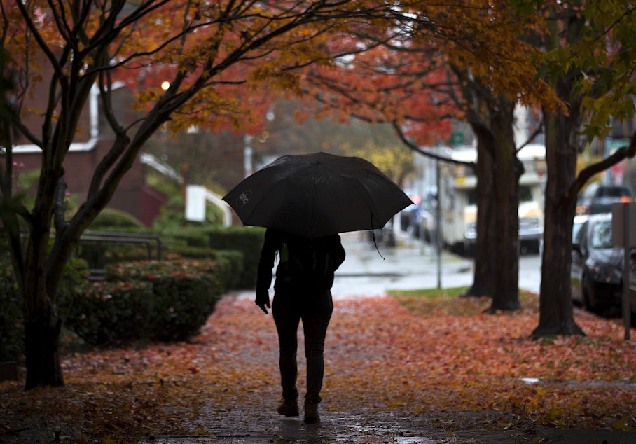
Oh, yeah, I'm pretty confident. And in fact, it's going to be quite a whipsaw in that folks that have been lulled into the conditions we've had, at least in terms of the warm temperatures. It's going to be quite a change with temperatures much cooler over the weekend, both in the lowlands and in the mountains where the snow could fall down to 4,000 feet or even a little lower.
I think "whipsaw" is the appropriate term. Is this one of the most drastic whipsaws you can recall?
Yeah, it's different in the way we characterize them. Often, our fall rains start quite abruptly; it's just that they almost never start this late in the season. And, again, we've had a grand total of .01 inches of rain in October.
But folks should be prepared. For example, the roads haven't been washed off for a while. And so, there's an accumulation of oils and all the crud and so forth. So, it's going to be especially slippery, and people aren't used to driving in those kinds of conditions, with limited visibility and traction and so forth. Everybody should take a chill pill — pun intended.
Sponsored
Despite all of the wildfire smoke we're dealing with right now, the Department of Natural Resources held an end-of-season wildfire briefing a couple of weeks ago. Washington state experienced the fewest number of acres burned in a decade after coming off the disastrous 2020 and 2021 wildfire seasons. Anything in the weather and climate models that explain why the season continues to linger, though, and why the smoke is so thick right now?
The summer was late to start, and we're definitely late to end. We were partly spared, because it was such a wet spring and the landscape didn't dry out as soon as it usually does. And then, we also basically kind of dodged the bullet in terms of having the wind storms that can cause the big fires to flare up. That being said, we've had the types of winds that have brought the smoke more to the west side of the Cascades than usual, versus the east side. That's why, recently, when you've gone outside, you get a bite of fresh air — you know, the clear stuff we like to breathe.
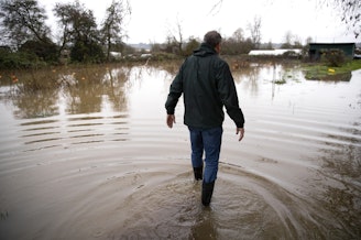
Now, we are expecting rain this Friday, something we haven't seen in any significant amounts since, as you mentioned, July. I know you don't track the day-to-day weather. But is that third La Niña about to kick in?
Well, it's in place. We're getting into a weather pattern that is consistent with past La Niña patterns. For the remainder of this calendar year, our climate models are suggesting that it's going to be on the wet side. That seems preposterous, given what we've had for the last couple of months. But you wait and see.
Sponsored
-
Angela King

Morning News Host
Angela King is the local host of Morning Edition. She’s been a part of the northwest news scene since the early 1990s. A proud University of Washington alumna, with degrees in broadcast journalism and American ethnic studies, she started her career as a news writer in Seattle, before becoming a reporter and anchor in Seattle, Portland and Albuquerque.
More stories from Angela King »