Lesson from Oso: What makes Washington beautiful also makes it vulnerable
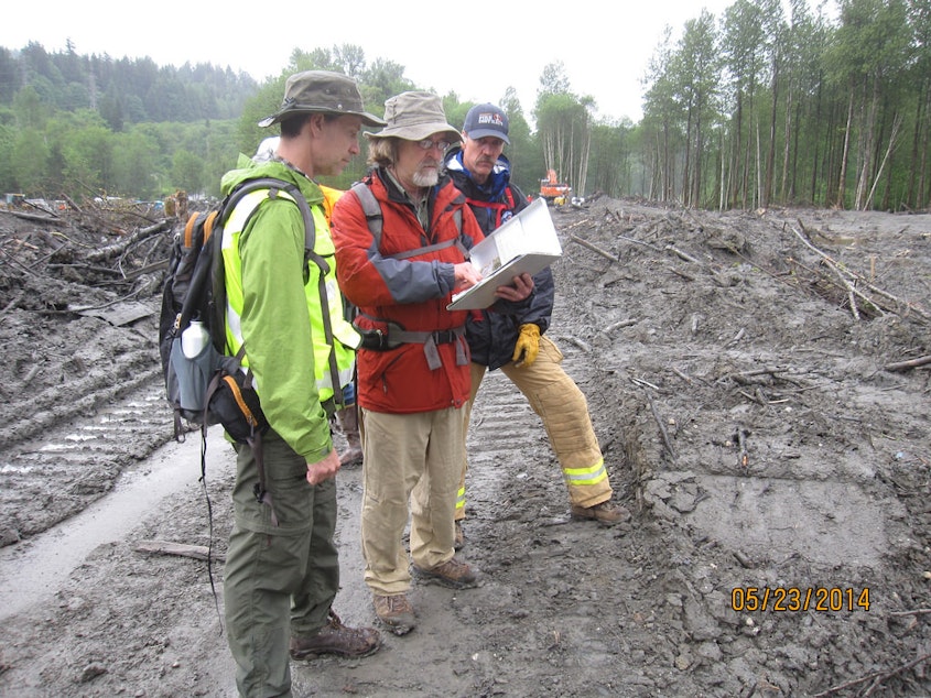
Five years ago today, a major landslide killed 43 people and destroyed 49 homes in Oso, Washington.
The tragedy is a reminder how fast landslides can move with devastating impacts.
What makes Washington’s terrain so beautiful also makes it dangerous, said David Montgomery, professor of geomorphology at the University of Washington.
“We live in the Northwest, in a region that has a legacy of sediments that were left behind when the glaciers receded that aren’t completely stable in the current environment. And steep slopes made out of them are a recipe for landslides,” he said.
Since the tragedy, a state joint commission issued recommendations that include creating a landslide hazard and risk mapping program. Montgomery said more can be done to better understand the terrain we live on.
“One of the big lessons of the Oso landslide is the hazards they present are not just where they start, but where they go before they stop,” he said.
There are databases and maps showing landslide hazards, but they vary county by county.
A federal bill sponsored by U.S. Rep. Suzan DelBene, whose congressional district includes Oso, would create a similar program using 3-D maps. DelBene said if passed, the program would complement state and local efforts to compile an inventory of landslide hazards.
Share your thoughts on this story
-
Ruby de Luna

Reporter
Ruby de Luna is a reporter with a focus on food and how it intersects with health, communities, and culture. She has also reported on health care, and immigrant communities.
More stories from Ruby de Luna »


