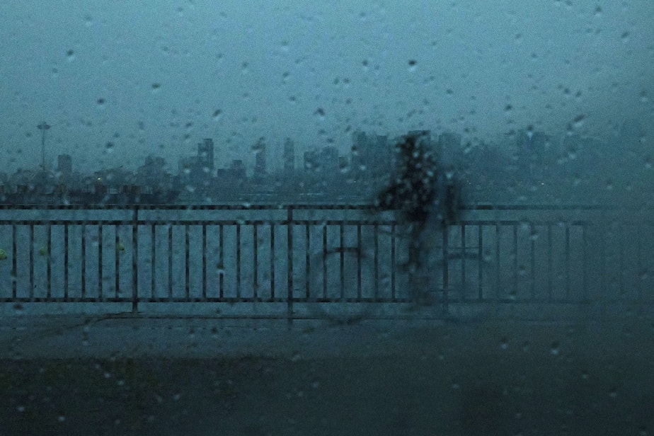
Rain, wind, and floods heading for Western Washington this weekend

Get out your candles and flashlights, heavy rain and wind is slated to surge through Western Washington Friday through Saturday. Flooding, power outages, and other disruptions are possible.
The National Weather Service has issued a flood watch for pretty much all of Western Washington that will last through Saturday afternoon, thanks to the atmospheric river dumping heavy rain in the mountains. This could lead to river flooding downstream.
Wind speeds are expected to pick up throughout Friday, with things starting off gusty in the south end of Puget Sound before the north end gets tossed around. Gusts around Oak Harbor and the San Juans could approach 60 miles per hour. There is potential for power outages throughout the region.
A wind advisory for the Puget Sound region will be in effect until 11 p.m. Friday. It will also be blustery along the coast, which could also get between 4–5 inches of rain.
Sponsored
The combination of heavy rain and strong winds could mean all of those leaves that have yet to fall could come down and clog storm drains.
The city of Tacoma has opened a couple of sandbagging stations at the Tacoma Asphalt Plant and the Central Wastewater Treatment plant. Supplies will be provided. Those stations will be open Monday-Friday from 8 a.m. to 3:30 p.m. East Pierce Fire and Rescue has also opened sandbagging locations.
The heavy rain has also prompted a flash food watch for areas burned by the Bolt Creek Fire.
Looking ahead, the National Weather Service says Western Washington could see some snowflakes in the lowlands next week, but no major accumulations are expected around the Seattle area. Some forecast models show the mountains could get 3 feet of snow by Sunday.

