Fall is here. What to expect in the PNW after an especially dry summer
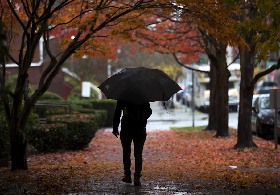
It's officially fall — the first full day of the new season — and lots of people are already appreciating or looking forward to the cooler temperatures.
But will autumn, like summer, serve up some surprises?
Washington State Climatologist Nick Bond spoke to KUOW's Angela King about what the latest climatological models are saying.
This interview has been edited for clarity.
Angela King: It feels like a switch has been flipped. We've now gone from summer to fall. The Farmers' Almanac says the first frost will hit Spokane first on Oct. 3, then Olympia on Oct. 6. Seattle is expected to get its first frost about a month later on Nov. 17.
Is that third, predicted La Niña winter still on the way? Any idea when we'll really start to feel it?
Sponsored
Nick Bond: Yes. So, it looks like it's going to contribute to wetter-than-normal weather at the kind of start of the cool season. That may be kind of hard to believe, given what we've had the last few months, but our computer models are indicating the October through December period will be on the wet side.
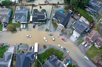
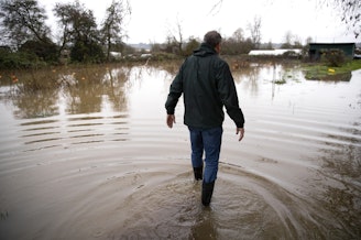
Last fall, in 2021, was the wettest on record for Seattle, correct. Then, we experienced the second-wettest stretch of May through June weather since 1895. Now, Seattle is coming off its driest summer on record, after getting only a half-inch of rain for the season. We also broke the record for most 90 degree days in a year.
Is there any other year that stands out to you, in terms of us dealing with back-to-back-to-back extremes, and what does that say about climate change?
Yeah, it was definitely a wet period early, and then, the faucet turned off for a while. And then it really turned on. I think what was most remarkable about the past year was how wet and cool it was in the spring.
Sponsored
You make a good point about climate change. The climate models are indicating we're going to have even more of a Mediterranean climate, and that is wetter winters and drier summers. And so, maybe it's a little bit of a dress rehearsal for what we're going to be seeing more of. That being said, there's plenty of variability from year to year. And it's not like every year is going to be the like this past one.
We've been hearing a lot about how states that rely on the Colorado River are having to scramble now for water resources. Is what's going on there the result of climate changes or just an over-reliance of several states on one natural resource?
Well, a combination of both. Certainly the amount of water is kind of oversubscribed. But as part of the changing climate, the Desert Southwest in the U.S. is expected to get drier overall into the future.
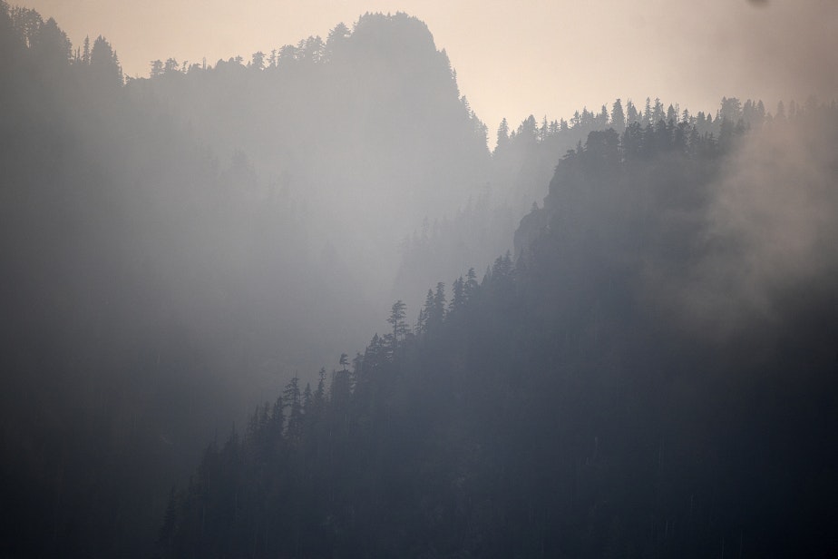
Things may be dry here, in fact abnormally dry, according to the U.S. Drought Monitor. But outside of a couple of pockets east of the mountains that are dealing with moderate drought conditions, the state is drought-free. How did we pull that off? Was that the result of the wet spring?
Sponsored
Yeah, that's exactly right. We had kind of a late start to the dry season, certainly, with implications for the wildfires. A late start there has meant less acres burned than we've had in many of the past years. Of course, we have had some fires, and the Bolt Creek Fire brought us some smoke earlier this week. But still, we kind of dodged the bullet there in terms of, with the landscape so dried out, it could have been a lot worse.
Well, thank goodness it wasn't. So, what's grabbing your attention when it comes to the latest forecast or climatological models? And what should we be paying attention to?
Yeah, as we've talked about earlier, there is going to be a weak to moderate La Niña conditions. And that stacks the deck for decent snowpack, at least. I'm not sure about the temperatures. While it's a kind of an admission of defeat, we're going to have to just wait and see how our temperatures are going to turn out.
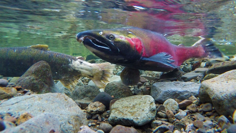
But the conditions were good for the salmon that went to sea in 2021, and the result is that we're expecting pretty good Coho salmon returns this year. They spend one year at sea before coming back, typically. The conditions this year have been not quite as good in 2022 but decent. And so, at least compared to some recent years, the ocean conditions have been pretty good for our salmon.


