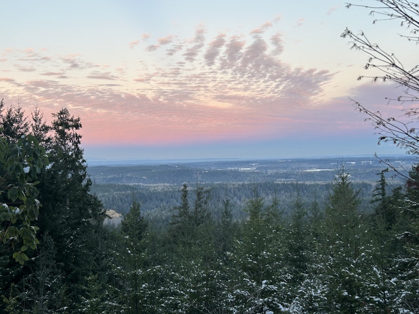
Early January storms bring much-needed snow to the Northwest – is it enough?

After being blasted with snow in early January, are snowpack levels in Oregon and Washington looking a lot better?
Matt Warbritton, with the U.S. Department of Agriculture’s Natural Resources Conservation Service said so far, Oregon’s snowpack is sitting at about 105% of normal.
“Just because we have near-normal snowpack right now doesn’t mean that will last,” he said. “Especially if we have warmer temperatures.”
He said things look pretty good now, but the strong El Niño this year could mean this snowpack might not be enough. Several places, like along the eastern Wallowa Mountains and parts of eastern-upper Klamath Basin, started the winter months with very dry conditions.
“Yeah, the storms simply weren’t enough to alleviate those deficits,” he said.
Warbritton said in those areas there was also a groundwater deficit, so the snowmelt won’t stretch as far this summer.
Washington snowpack
Snowpack experts say Washington is fairing a bit worse, at about 75% of normal for this time of year.
Particularly worrisome, are areas east of Okanogan, the Olympics and the North Cascades.
Caroline Mellor is with the Washington State Department of Ecology.
“We started out quite low in terms of our precipitation and had higher temperatures early on in winter, which leads to lower snowpack and we already were starting out with a deficit in terms of last year, from last year’s drought,” Mellor said.
Mellor said if there are more storms and, depending how quickly temperatures warm up in the spring, the outlook for irrigators and fish could change quite dramatically. Snowpack is the Northwest’s big water bank and temperature is really important because precipitation could come as rain, not snow, she said.
“People should continue to pray for snow,” Mellor said. “While things are starting to look better, we still need a significant amount of snow.” [Copyright 2024 Northwest News Network]

