A Freeze Settles In Over NW Oregon, But More Snow Is Coming

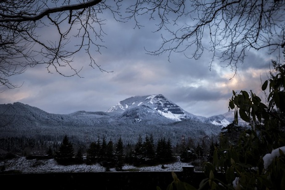
Snow and ice blanket Hood River, Ore., Tuesday, Feb. 5, 2019. Winter weather complicated commutes in parts of Oregon Tuesday and may return later in the week.
Northwest Oregon and Southwest Washington woke to icy but mostly clear conditions Sunday morning — but more winter weather is moving in, fast.
The region is in store for a quiet but cold start to the day Sunday, according to Jeremiah Pyle, a meteorologist with the National Weather Service in Portland.
But that all starts to change Sunday afternoon, when the first of two new winter storms moves into the region, bringing mostly rain to the lowlands but significant snowfall in higher elevations. A second, bigger storm moves into the area Tuesday.
Areas of Portland and the greater Willamette Valley below 1000 feet shouldn't expect any additional snow accumulation — just wet, cold conditions. It's the higher-elevation areas that are in store for a wallop. Some parts of the Cascades range are expected to see as much as 2-to-4 feet of snow accumulation over the coming days.
"It’s going to be some good skiing up there later this week," Pyle added. He noted that the Coast Range and its surrounding foothills will get hit hard, too. Between the two storm systems, areas of the Coast Range between 1000-1500 feet could see up to 20 inches of snow in the coming days.
"It’s a 1-2 punch and the second punch is stronger," Pyle said of the storms moving into the region Sunday and Tuesday.
But conditions should be fine as Portland-area drivers take to the streets for their Monday morning commutes, albeit quite wet and cold. Pyle says temperatures overnight for the region should hover around the mid-30s, not cold enough to freeze unless you're at higher elevations.
"It will not be a pleasant morning,” he added.
But unless you're traveling over mountain passes or up in the highest elevations of the Portland metro region — road conditions should be fine Monday morning. [Copyright 2019 EarthFix]


