Winter isn't done with the Pacific Northwest
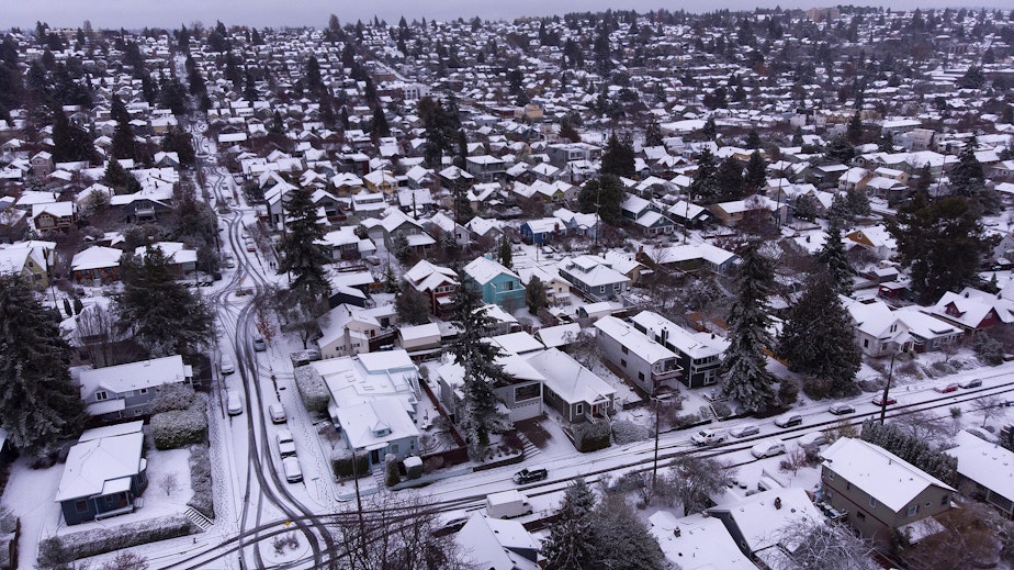
January might have been a "dud" in terms of typical La Niña winter weather patterns, but Washington State Climatologist Nick Bond says there's plenty more winter ahead.
"Looking ahead to February into March, we should have a return of more normal weather and growth in the snowpack," Bond says. "And here's hoping that snowpack comes around, because there's some places that we could use a little bit more."
(For what it's worth, Punxsutawney Phil seems to agree with Bond. The groundhog saw his shadow Thursday, predicting another six weeks of winter.)
A healthy snowpack bodes well for water supplies across the state and less severe conditions heading into the summer months.
Bond says this summer is likely going to be on the warmer, drier side. That's no surprise as summers have been getting warmer over the last few decades, he notes.
Sponsored
If that prospect is reminding you of the record heat that struck the region in June 2021, though, don't worry — yet.
"We can't really say too much about those kinds of events," Bond says. "Certainly, overall, when it's warmer... conceivably it could get quite hot."
-
Angela King

Morning News Host
Angela King is the local host of Morning Edition. She’s been a part of the northwest news scene since the early 1990s. A proud University of Washington alumna, with degrees in broadcast journalism and American ethnic studies, she started her career as a news writer in Seattle, before becoming a reporter and anchor in Seattle, Portland and Albuquerque.
More stories from Angela King » -
Katie Campbell

Online Editor/Reporter
Katie joined KUOW's online team as an editor and reporter in 2024, after serving three years as senior producer of the local Morning Edition program. She has covered a variety of local topics, including the Seattle City Council, elections, and breaking news. She also brings readers some levity with a weekly news quiz.
More stories from Katie Campbell »