'Wimpy' winter ahead for Pacific Northwest despite La Niña prediction, climatologist says
With a few weeks left of summer, climatologists are looking to cooler months ahead.
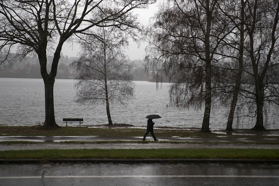
La Niña conditions are expected in the Pacific Northwest this winter, which usually bring colder, wetter weather to the region. After a dry summer — and a below-average snowpack accumulated last winter — we could use the moisture.
RELATED: Late-summer heat wave bakes Western Washington — but not for long
Climatologist Nick Bond said this year's La Niña will likely be weaker than previously expected.
"The La Niña, compared to what we were looking at a few months ago, looks to be on the wimpy side, to the extent that it really impacts our weather in a major way," he said.
Sponsored
That could mean a lower-than-average snowpack for the second winter in a row.
"Just how much [a weak La Niña] stacks the deck toward more snow in the mountains, especially after the first of the calendar year, that kind of remains to be seen," Bond said of the implications for the snowpack.
In February, Bond described the snowpack conditions as "a bit alarming." That was especially true in the Olympic Mountains, where it was just about 29% of normal. Other parts of the state were better off, like the central Cascades, where the snowpack was at about 60-70% of normal.
RELATED: Washington's snowpack is suffering this winter. It's not going to get much better
Sponsored
As "alarming" as that may be, it's not entirely surprising as the globe racks up record breaking heat.
According to an analysis by scientists from NOAA’s National Centers for Environmental Information, 2023 was the planet’s warmest year on record. Climate scientists expected 2024 to rank, globally, among the top five warmest years on record.
While that hasn't been the case here in the Pacific Northwest for the most part, Bond said 2024 is poised to go down as the second hottest year, just behind 2023.
"There's always regional variations and so forth," Bond said. "Around here, it hasn't been that extraordinary."
RELATED: Seattle just had the warmest week in January on record
Sponsored
Still, Bond said Seattleites shouldn't be fooled just because this summer hasn't seen "extraordinary" conditions.
"It has gotten warmer in the summer months, especially during the evenings, the minimum temperatures have gone up more systematically than the daytime maximum temperatures," he said, adding that daytime temperatures have increased by a degree or two while nighttime temperatures have been increasing by several degrees.
"That may not sound very impressive, but it is an inexorable trend that we're observing and is almost certain to continue," he said.
The difference is more stark when you consider how many hot days we experience today compared to the mid 20th century, say around 1970.
Sponsored
"There was maybe two or three 90-degree days in the Seattle area a summer," Bond said. "Now, we're getting a lot more than that. A couple of years ago, we had 13 days that got to 90."
Seattle got to 90 degrees on Thursday, in fact, beating the previous 88-degree record set on Sept. 5, 1973.
-
Angela King

Morning News Host
Angela King is the local host of Morning Edition. She’s been a part of the northwest news scene since the early 1990s. A proud University of Washington alumna, with degrees in broadcast journalism and American ethnic studies, she started her career as a news writer in Seattle, before becoming a reporter and anchor in Seattle, Portland and Albuquerque.
More stories from Angela King » -
Katie Campbell

Online Editor/Reporter
Katie joined KUOW's online team as an editor and reporter in 2024, after serving three years as senior producer of the local Morning Edition program. She has covered a variety of local topics, including the Seattle City Council, elections, and breaking news. She also brings readers some levity with a weekly news quiz.
More stories from Katie Campbell »


