Washington's snowpack at less than a third its normal levels
According to the U.S. Natural Resources Conservation Service, Washington state’s snowpack is at 29% of the typical level for May 31 (based on the 30 years from 1981-2010).
The early meltdown leaves the state's main storehouse of water for the summer a shadow of its usual self.
A warm spring took what was a nearly normal snowpack this winter and melted it down to a fraction of what it should be now.
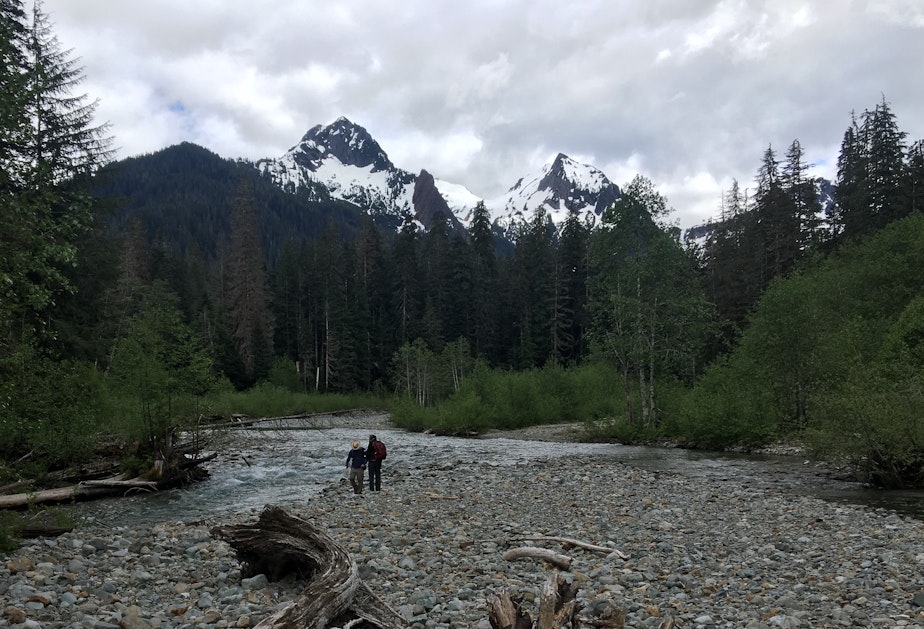
In the North Cascades and elsewhere in the high country of the Evergreen State, more rock is exposed than farmers, fish or firefighters might like.
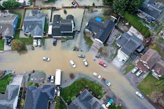
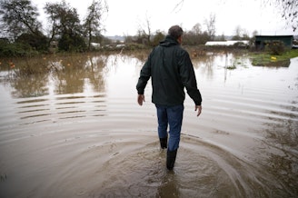
Less snow cover now could mean less water this summer — and a bad season for fires and for the streamflows that farms and fish depend on.
Snowpack in the Columbia River basin, including Idaho and parts of Montana, Oregon and Washington, is at 70% of of normal for the 1981-2010 period, according to the NRCS.
Other parts of the West currently have unusually heavy snowpacks: California, Colorado and Utah all have at least four times their usual volumes of snow in their mountains.
The long-term outlook for June in the Northwest is above-normal temperatures and below-normal precipitation, according to the National Weather Service.
Things could be worse: Four years ago, Washington was headed into an extreme drought and the worst fire season in state history. On May 31, 2015, our state’s snowpack was just 4% of normal, far less than this year’s relatively thin coat.
Less snow and more fire is what scientists say our region should brace for in years ahead as our pollution-fueled climate keeps changing.
-
John Ryan

Environment Reporter
John Ryan joined KUOW as its first full-time investigative reporter in 2009 and became its environment reporter in 2018. He focuses on climate change, energy, and the ecosystems of the Puget Sound region.
More stories from John Ryan »