The 'triple-dip La Niña' explained – and how it affects the weather in your area

La Niña is back for the third year in a row.
The meteorological system over the Pacific Ocean that can influence weather patterns worldwide is projected to continue through the end of the year.
It's the first time this century that La Niña has returned for three consecutive years, according to the World Meteorological Organization, a U.N. agency.
"It is exceptional to have three consecutive years with a la Niña event," WMO Secretary-General Petteri Taalas said in a statement.
La Niña occurs when strong winds blow warm water on the surface of the Pacific Ocean near the coast of South America across the equator toward Indonesia, other parts of Asia and Australia.
Sponsored
That causes cooler water to rise to the surface of the Pacific Ocean, which has wide-ranging ripple effects on the weather.
Some people will see drier weather; others will face more floods
The southwestern U.S., with rain clouds pushed out to sea, becomes drier than usual. Northwestern U.S. states and Canada see cooler-than-average temperatures, rain and flooding.
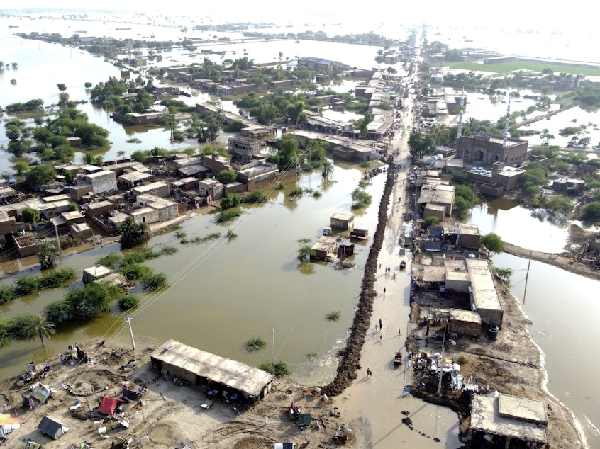
Australia, Indonesia and other parts of Asia also experience heavy rainfall. La Niña can even cause more lightning activity in the Gulf of Mexico and along the Gulf Coast and increase the number of hurricanes and tropical cyclones, according to the National Oceanic and Atmospheric Administration.
This year, scientists have also attributed a worsening drought in the Horn of Africa and the southern part of South America to La Niña.
Sponsored
Though the storm system will produce some cooler temperatures in one part of the world, the U.N. says that warmer sea-surface temperatures elsewhere will drive the global forecast in the coming months.
Climate change continues to drive up global temperatures and contribute to more extreme weather events, including La Niña.
"Its cooling influence is temporarily slowing the rise in global temperatures – but it will not halt or reverse the long-term warming trend," Taalas said.
La Niña is the opposite of El Niño, in which the trade winds over the Pacific Ocean weaken and the water off the west coast of the Americas warms up. [Copyright 2022 NPR]


