T-shirt weather in January? Seattle area warmed by record-breaking temps
Western Washington's in the middle of a bout of what some might call T-shirt weather.
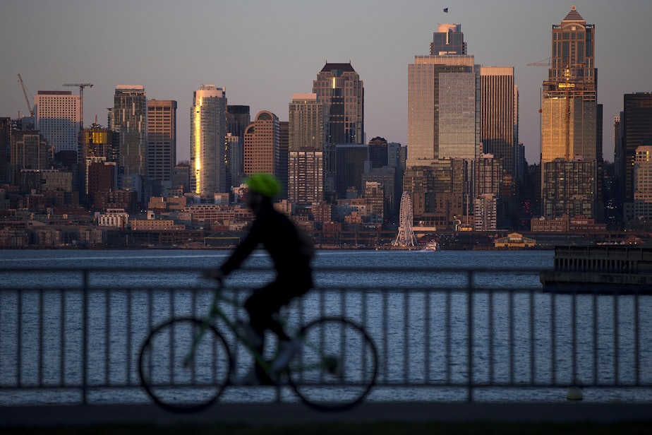
Update, Jan. 30: Monday marked the fourth time in 80 years that Seattle has had back-to-back January days with temperatures at 60 degrees or higher.
It was the second day in a row that areas like SeaTac and Olympia broke records.
Bellingham, too, set a stunning new record, hitting 68 degrees Monday night. That's the normal high temperature there in June.
Highs in the region were expected to reach 60 degrees again Tuesday.
Come Wednesday, though, a cold front will return Western Washington to temperatures more typical for this time of year; highs are expected to drop to the 40s by the weekend.
Original story posted Jan. 29: Record-breaking highs were recorded at SeaTac and Olympia Sunday, reaching 61 and 63 degrees respectively, according to the National Weather Service.
That might not sound like balmy weather exactly, but it is unusual for this time of year.
The previous record in SeaTac was just 57 degrees, set on Jan. 28, 2018. And Olympia's previous record of 60 degrees held on since 1976.
This warm spell comes after Seattle experienced its warmest December on record, a pattern that is likely to continue through the rest of winter.
That hasn't been consistent so far this month, though. Subfreezing temperatures and some snow hit the region just about two weeks ago. The King County Medical Examiner has reported at least seven weather-related deaths, and local shelters were at capacity as people sought refuge from the cold.
The severe cold appears to be behind us for now.
The warm trend is expected to continue Monday. Highs should reach the low 60s once again.
Don't get too excited, though.
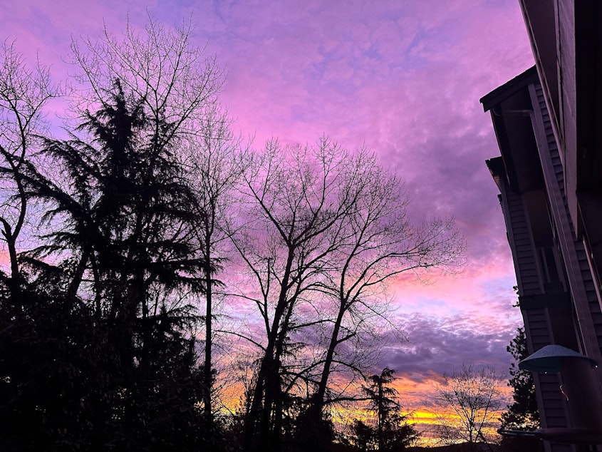
While cloudy skies made for a stellar sunrise Monday morning, those clouds may yield rain later in the day.
Cloudy, rainy conditions are expected to persist for the rest of the week, and you can kiss those short-sleeve-worthy temperatures goodbye come Wednesday. Highs will dip back into the low to mid 50s by then.
The National Weather Service warned that the additional rainfall, on top of what the region got over the weekend, could raise the risk of landslides and flooding along area rivers.
Bottom line: Enjoy the 60s while you can, but be safe out there.