Oregon Trails Now Available In 360 Glory On Google Maps
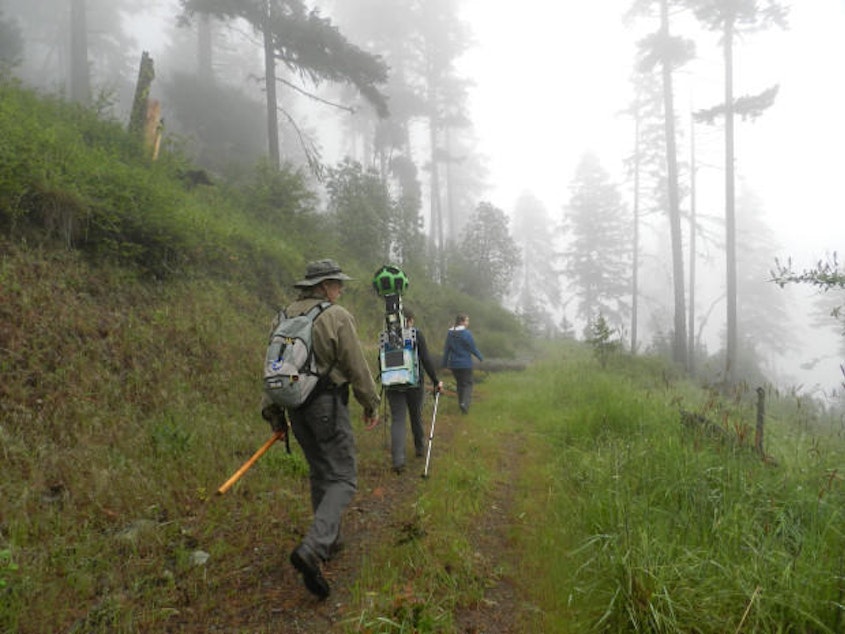
Earlier this summer, EarthFix reporter Jes Burns took us on a walk in the Southern Oregon woods with Oregon Wild. The conservation group had been chosen by Google to use a backpack-mounted Trekker camera. The plan was to document trails on Bureau of Land Management lands that could be affected by upcoming changes to how the forests are managed.
Now, those trail maps are live and everyone can get a taste of what the forests have to offer for recreation and wildlife. Oregon Wild wants the 360-degree trail maps to inspire more people to get out in nature and enjoy their public lands… even if it’s just a wee bit foggy.
Here’s the Trekker trail images of the Wellington Wildlands in the Applegate Valley. (Scroll down for the rest of the trail links.)
Check out the original story here: Oregon Environmentalists Use Google Trekker To Track Down Conservation Support