It's not a matter of if, but when the White River will flood
Heavy rainfall puts stress on Seattle area rivers, especially White River between Auburn and Buckley.
The riverbed is gradually rising, and it can't hold as much water as it used to. That has county and weather officials taking extra steps to prepare for flooding.
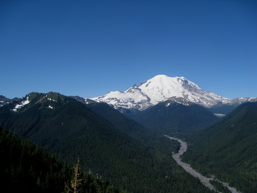
The White River starts on Mount Rainier, and it picks up a lot of sediment there. The river flow naturally slows down when it approaches Auburn, which lets that sediment sink to the bottom. In some parts, the river is getting shallower over time.
Doug Williams with King County's natural resources department calls it a very serious situation.
Williams: "It just doesn't seem that we can avoid having some level of flooding occurring in that Pacific/Auburn area along the White River, for no other reason than this sediment buildup."
Officials are taking action to minimize damage when there's a flood. This week the National Weather Service started taking water level readings in Auburn. That will help predict floods earlier than before.
County crews are helping, too. They are building a giant sandbag wall along the river in the city of Pacific. That work started in 2009.
Williams says for people who live in a flood-prone area, the best thing to do is buy flood insurance. He says the sooner the better, as most plans take 30 days to go into effect.
-
Paige Browning

Newscaster
Paige hosts midday newscasts and monitors news of significance to the Puget Sound region. She hopped over Washington’s mountains to join KUOW, after hosting news and reporting at Spokane Public Radio since 2011. She began her start in radio while a journalism student at University of Montana, by sharing stories with KUFM. Paige was raised in the mountains and rivers around Spokane. In her spare time she cheers on the Mariners in the summer, and hopes for snow in the winter.
More stories from Paige Browning »