El Nino System Could Be Bad For Skiing, Good For 'The Blob'
Warm, dry weather will probably continue in the Pacific Northwest -- and may last until at least next spring.
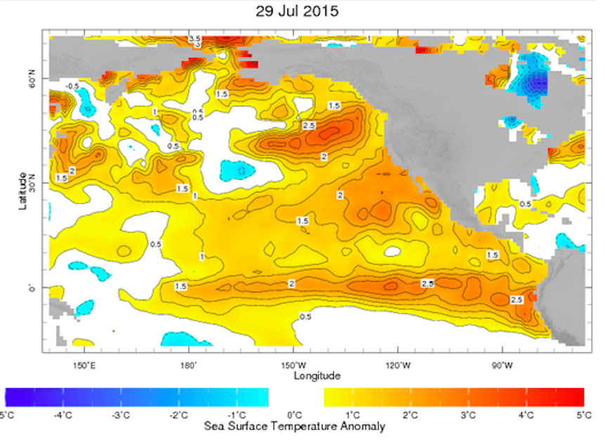
New data from the National Oceanic and Atmospheric Administration indicates the warming ocean phenomenon in the Pacific, known as El Nino, is getting stronger.
In fact, officials say the numbers from July are the second highest since they started keeping records, back in 1950.
“At this point, the outlooks do favor below-average precipitation, at least for parts of the Pacific Northwest," said Mike Halpert, deputy director of NOAA's Climate Prediction Center.
But a stronger El Nino could also mean an end to that so-called "blob" of warm water that's been parked off the coast.
Some scientists blame that "blob" for a litany of issues including the drought in the West, colder temperatures in the East and changes to marine life.
Halpert said as we move into the fall and winter, he believes sea surface temperatures will go back to normal.